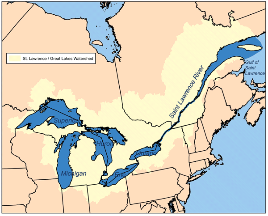
The U.S. and Canada have adopted a plan designed to improve environmental conditions along Lake Ontario and the St. Lawrence River by letting water levels rise and fall more naturally.
The controversial plan was ratified Thursday by the International Joint Commission, which advises both nations on managing the Great Lakes. It was released in 2014 but only recently won approval from both federal governments.
Lake Ontario and St. Lawrence River levels are controlled partly by releases from a hydropower dam on the river. The commission says policies dating from the 1950s have kept levels too stable, degrading wetlands needed to filter pollutants and provide habitat for fish and other wildlife.
The new plan allows more variation.
Some shoreline property owners have fought the changes, saying they would increase erosion and flooding.
Copyright 2016 The Associated Press. All rights reserved.


